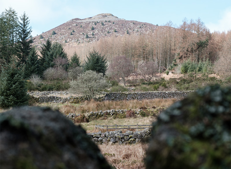
Born in Aberdeen, but brought up and educated in Inverurie, Bennachie and the Bailies have been a major part of my life. I became a Bailie in 1987, but even before that, I remember moonlit treks through snow, sponsored walks, tree planting, path repairs and (my favourite) the annual Bailies’ picnic at the Back o’ Bennachie.
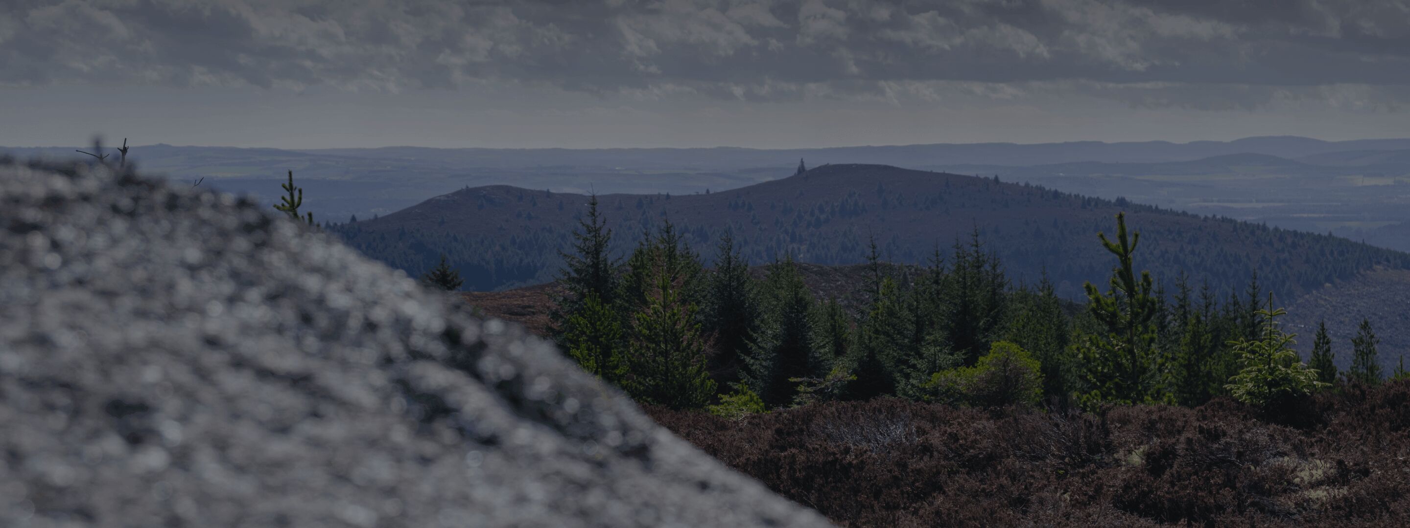
Having just moved back to Aberdeenshire, after almost 40 years in Fife, I am looking forward to spending more time on and around Bennachie. My two daughters, now grown up, found a love of the outdoors by spending time on the Hill during trips “home”, and I know there are so many opportunities to foster appreciation of the outdoors, awareness and respect for the natural world and care for the environment. I’m now able to revisit the Bailies and became a Trustee in March 2026.
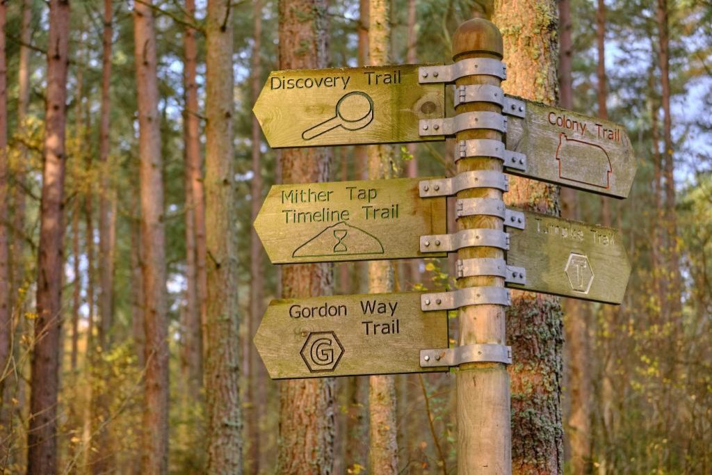
The future Voice for the Hill will come from today’s young people; we can help them find that voice through capturing their interest and helping them enjoy all that Bennachie has to offer.