

June 2025
Mither Tap Maiden Causeway Trail
Mither Tap Maiden Causeway Trail (Purple) NJ 692 244 Rowantree AB51 5HZ.
Strenuous 3½ miles / 5.6 km Allow 2 ½ hours.
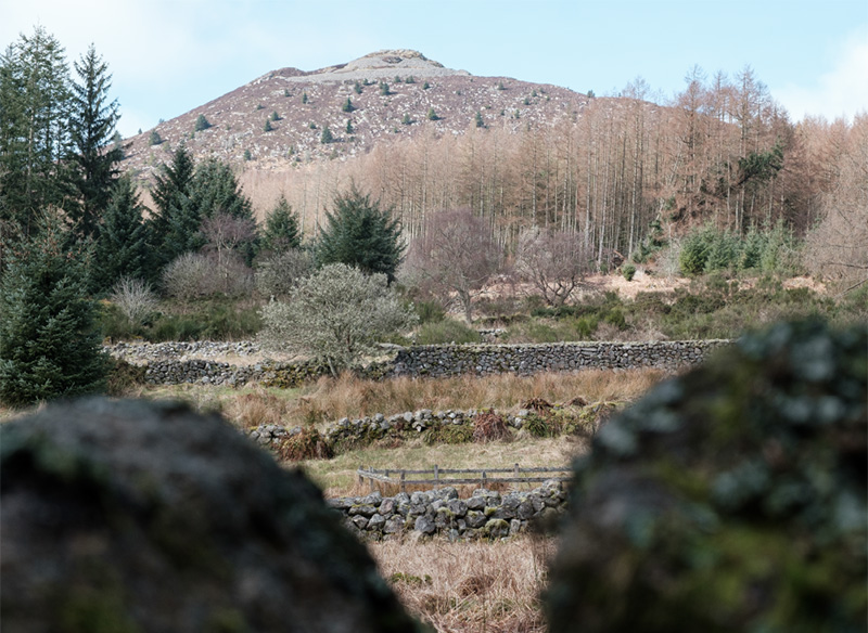
A walk of legends to the impressive Pictish hill fort. The Maiden Causeway itself is named after a local girl who bet the devil that she could bake a batch of oatcakes before he could build a road up Bennachie.
Steep, rough and uneven rocky trail with steep rock steps. Some parts are narrow and can be wet and muddy after rain.
Map Reference: NJ 692 244
Coordinates: (57.309130,-2.5128917)
Gallery