
June 2025
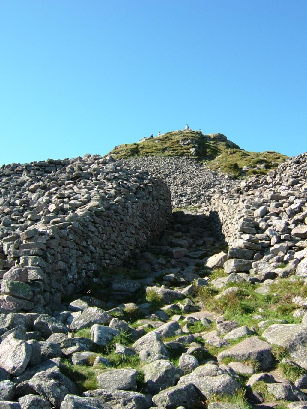
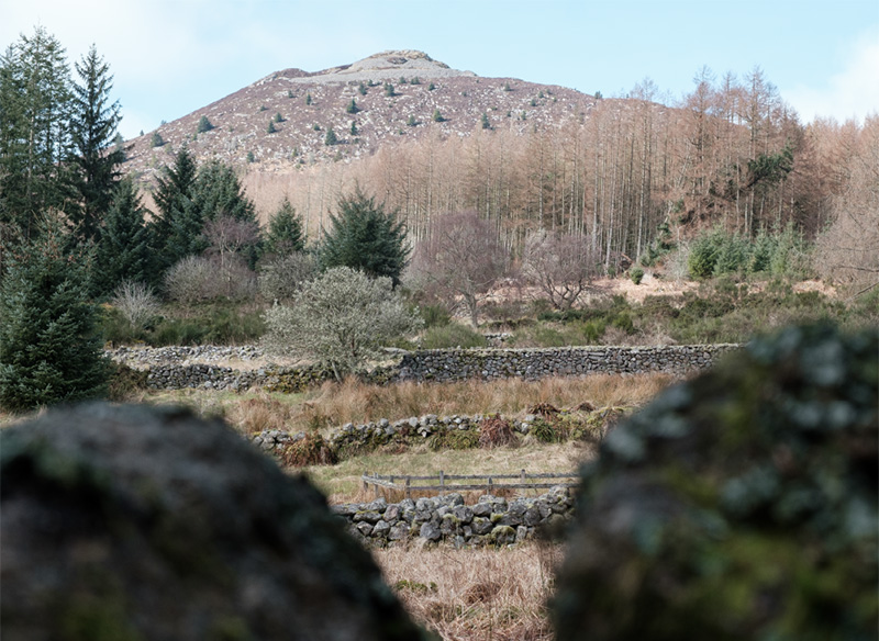
Mither Tap Fort
Mither Tap Fort, 518 m, Iron Age Hill Fort.
Mither Tap (or Mother’s Breast) has cliffs of hard wearing granite or tors which mean that it is potentially very dangerous place so be careful especially in a strong wind.
Most people who climb the Tap will approach the final ascent through an entrance corridor in a massive but ruinous wall – the remains of an Iron Age Hill Fort (c. 500 BC-500AD ). There are at least two walls surrounding the summit plus various terraces with signs of dwellings. In 2019 on the west side of Mither tap a well was excavated but is now covered.
For more information see https://canmore.org.uk/site/85507/mither-tap-of-bennachie
Map Reference: NJ 682 224
Coordinates: (57.291097,-2.5292317)
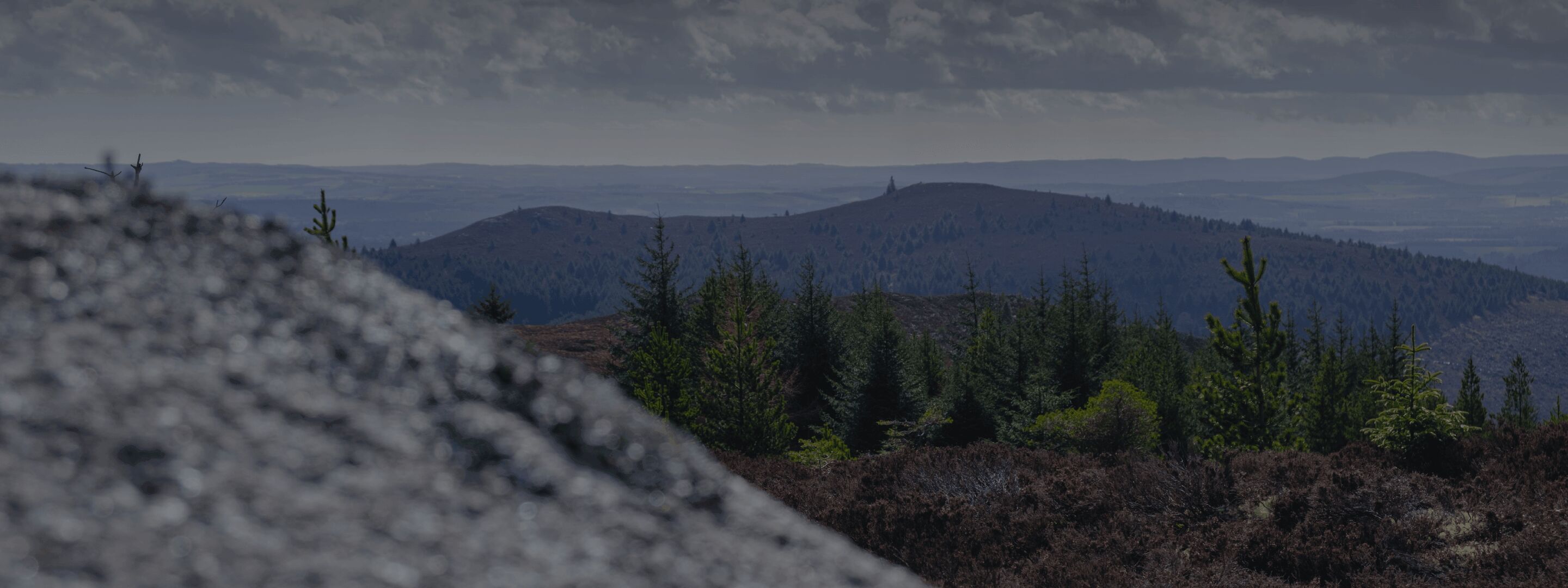
Gallery