
June 2025
Bede House
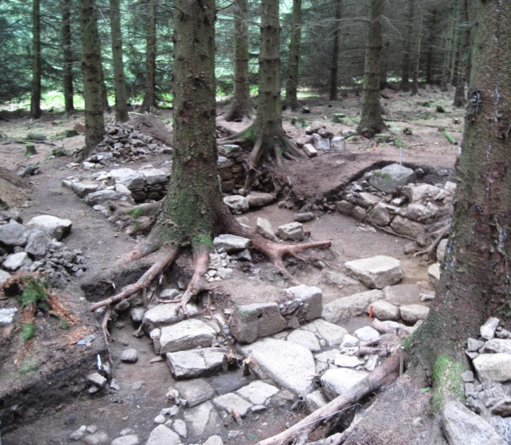
Bede House. Remains of Bede House (Hostelry/Hospital).
Remains of building partly hidden under plantation trees known locally as the Bede House.
A “Bede House” was a hostelry/hospital of medieval origin for displaced men built and served by a religious house or landowner. The Bennachie Bede House lies 500 m to the southwest of Pittodrie House (now a hotel) alongside a turnpike road at a junction with an older road that used to skirt Bennachie to the East and South.
Map Reference: NJ 693 235
Coordinates: (57.301053,-2.5111197)
Gallery